Junction of Church Road and Crickhowell Road, Gilwern
Introduction
The photograph on this page of Junction of Church Road and Crickhowell Road, Gilwern by Jaggery as part of the Geograph project.
The Geograph project started in 2005 with the aim of publishing, organising and preserving representative images for every square kilometre of Great Britain, Ireland and the Isle of Man.

There are currently over 7.5m images from over 14,400 individuals and you can help contribute to the project by visiting https://www.geograph.org.uk
Junction of Church Road and Crickhowell Road, Gilwern
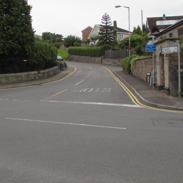
Image: © Jaggery Taken: 20 Aug 2017
Church Road ascends from the A4077 Crickhowell Road. Signs on the right show that Llanelly Church is 1½ miles ahead and Church Road is unsuitable for heavy goods vehicles.
Images are licensed for reuse under creativecommons.org/licenses/by-sa/2.0
Image Location
Latitude
51.827057
Longitude
-3.096798