Lower Marsh
Introduction
The photograph on this page of Lower Marsh by Paul Gillett as part of the Geograph project.
The Geograph project started in 2005 with the aim of publishing, organising and preserving representative images for every square kilometre of Great Britain, Ireland and the Isle of Man.

There are currently over 7.5m images from over 14,400 individuals and you can help contribute to the project by visiting https://www.geograph.org.uk
Lower Marsh
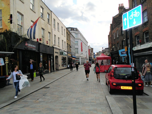
Image: © Paul Gillett Taken: 19 Aug 2017
Street near Waterloo Station, formerly the location for the UK's largest market. Until the early 19th century much of north Lambeth (now known as the South Bank) was mostly marsh. The settlement of Lambeth Marsh was built on a raised through road over the marsh lands, potentially dating back to Roman times. The land on which it stands was owned by the church of England, with Lambeth Palace nearby https://en.wikipedia.org/wiki/Lambeth_Marsh, http://www.lower-marsh.co.uk/market.html
Images are licensed for reuse under creativecommons.org/licenses/by-sa/2.0
Image Location
Latitude
51.501419
Longitude
-0.110982