Loscombe: waterfall and no through road
Introduction
The photograph on this page of Loscombe: waterfall and no through road by Chris Downer as part of the Geograph project.
The Geograph project started in 2005 with the aim of publishing, organising and preserving representative images for every square kilometre of Great Britain, Ireland and the Isle of Man.

There are currently over 7.5m images from over 14,400 individuals and you can help contribute to the project by visiting https://www.geograph.org.uk
Loscombe: waterfall and no through road
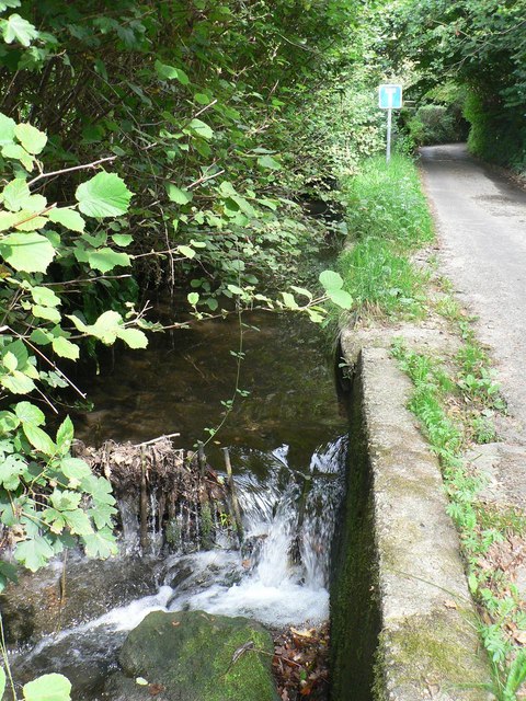
Image: © Chris Downer Taken: 9 Sep 2007
The stream alongside this country lane features a small waterfall, just before it flows under the road for about 100 yards (see Image).
Images are licensed for reuse under creativecommons.org/licenses/by-sa/2.0
Image Location


Leaflet Map data © OpenStreetMap
Latitude
50.778509
Longitude
-2.710821