Wilton Rise
Introduction
The photograph on this page of Wilton Rise by Ian Capper as part of the Geograph project.
The Geograph project started in 2005 with the aim of publishing, organising and preserving representative images for every square kilometre of Great Britain, Ireland and the Isle of Man.

There are currently over 7.5m images from over 14,400 individuals and you can help contribute to the project by visiting https://www.geograph.org.uk
Wilton Rise
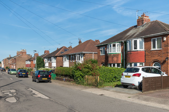
Image: © Ian Capper Taken: 18 Jul 2017
Semi-detached housing built in the 1930s on a section of road connecting the Victorian terraced housing of Wilton Street (seen in the left background) with Holgate Road, with the name Wilton Rise in time being applied to the whole road.
Images are licensed for reuse under creativecommons.org/licenses/by-sa/2.0
Image Location
Latitude
53.955759
Longitude
-1.102298