Hainault Forest Country Park
Introduction
The photograph on this page of Hainault Forest Country Park by Marathon as part of the Geograph project.
The Geograph project started in 2005 with the aim of publishing, organising and preserving representative images for every square kilometre of Great Britain, Ireland and the Isle of Man.
There are currently over 7.5m images from over 14,400 individuals and you can help contribute to the project by visiting https://www.geograph.org.uk

Image: © Marathon Taken: 16 Aug 2017
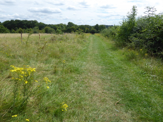
Hainault Forest belonged to the Abbey of Barking until the Dissolution of the Monasteries. In a survey made for Henry VIIIth in 1544 its extent was given as some 3,000 acres. The vast royal hunting forest of Hainault Forest never found the determined defenders that Epping Forest had to save it. After Parliament gave its approval in 1858, over 100,000 forest trees were felled and the land was drained and fenced. However, the outrage at the destruction of Hainault led to the creation of conservation groups which successfully opposed a similar fate happening to Epping Forest. In the end a total of 804 acres of land was bought for public use on 21st July 1906. Even so, Hainault Forest Country Park is just a surviving fragment of Hainault Forest. The Redbridge section of the park is being developed by Redbridge Council as a country park. The Essex section here to the north is managed by the Woodland Trust, on behalf of its owners, Essex County Council. This is the view from the London LOOP just into Essex near Chigwell Row. The busy Romford Road is just beyond the hedge on the right.

