South side of an A467 footbridge, Brynmawr
Introduction
The photograph on this page of South side of an A467 footbridge, Brynmawr by Jaggery as part of the Geograph project.
The Geograph project started in 2005 with the aim of publishing, organising and preserving representative images for every square kilometre of Great Britain, Ireland and the Isle of Man.

There are currently over 7.5m images from over 14,400 individuals and you can help contribute to the project by visiting https://www.geograph.org.uk
South side of an A467 footbridge, Brynmawr
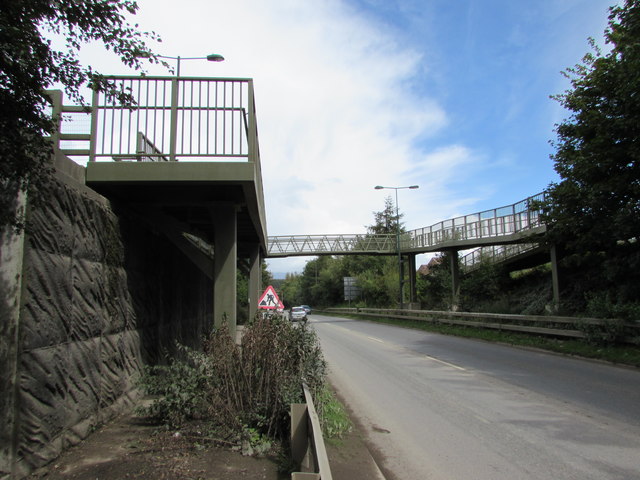
Image: © Jaggery Taken: 18 Aug 2017
Old maps show that the A467 here follows the route of a dismantled railway.
Images are licensed for reuse under creativecommons.org/licenses/by-sa/2.0
Image Location
Latitude
51.798306
Longitude
-3.169189