Muddy track east from Kingdom's Cross
Introduction
The photograph on this page of Muddy track east from Kingdom's Cross by David Smith as part of the Geograph project.
The Geograph project started in 2005 with the aim of publishing, organising and preserving representative images for every square kilometre of Great Britain, Ireland and the Isle of Man.

There are currently over 7.5m images from over 14,400 individuals and you can help contribute to the project by visiting https://www.geograph.org.uk
Muddy track east from Kingdom's Cross
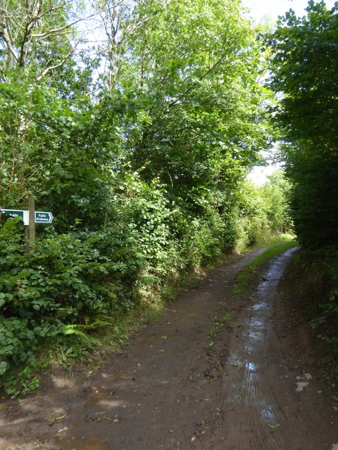
Image: © David Smith Taken: 17 Aug 2017
As signed, a bridleway; marked as Larkey Lane on detailed maps
Images are licensed for reuse under creativecommons.org/licenses/by-sa/2.0
Image Location


Leaflet Map data © OpenStreetMap
Latitude
50.878195
Longitude
-3.557228