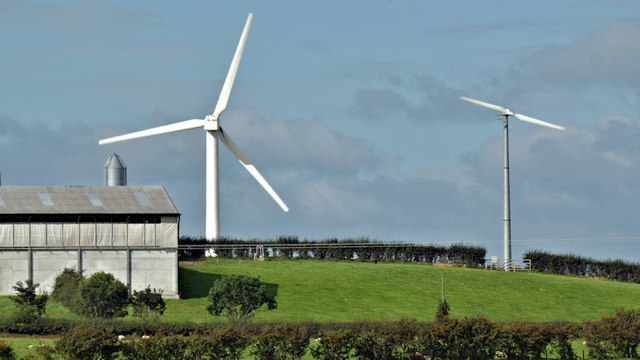
Wind turbines, Carrowdore/Ballywalter (August 2017)
Introduction
The photograph on this page of Wind turbines, Carrowdore/Ballywalter (August 2017) by Albert Bridge as part of the Geograph project.
The Geograph project started in 2005 with the aim of publishing, organising and preserving representative images for every square kilometre of Great Britain, Ireland and the Isle of Man.
There are currently over 7.5m images from over 14,400 individuals and you can help contribute to the project by visiting https://www.geograph.org.uk

Image: © Albert Bridge Taken: 18 Aug 2017
Two wind turbines seen from this gate Image The following planning permissions apply: (left - approved 6 October 2014) “X/2014/0148/F A single 250kw wind turbine with a base height of 40m and blade length of 19.5m Approx 384m East of 3 Kilbright Road Carrowdore” and (approved 28 November 2012 on appeal) “X/2012/0034/F Proposed installation of a 11kw wind turbine on an 18.3m high tubular tower type mast 100mts North West of 21 Ballyhaskin Road Millisle”. Subject position taken as the one on the left.

