Berkswich Parish Community Centre
Introduction
The photograph on this page of Berkswich Parish Community Centre by Alan Murray-Rust as part of the Geograph project.
The Geograph project started in 2005 with the aim of publishing, organising and preserving representative images for every square kilometre of Great Britain, Ireland and the Isle of Man.

There are currently over 7.5m images from over 14,400 individuals and you can help contribute to the project by visiting https://www.geograph.org.uk
Berkswich Parish Community Centre
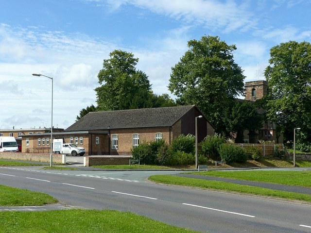
Image: © Alan Murray-Rust Taken: 16 Aug 2017
Both civil and ecclesiastical parishes retain the alternative spelling of the village name. Both were in normal use until the mid 19th century, although Baswich is now used for most purposes.
Images are licensed for reuse under creativecommons.org/licenses/by-sa/2.0
Image Location
Latitude
52.798231
Longitude
-2.084052