Approaching Broubster Village
Introduction
The photograph on this page of Approaching Broubster Village by Phil Williams as part of the Geograph project.
The Geograph project started in 2005 with the aim of publishing, organising and preserving representative images for every square kilometre of Great Britain, Ireland and the Isle of Man.

There are currently over 7.5m images from over 14,400 individuals and you can help contribute to the project by visiting https://www.geograph.org.uk
Approaching Broubster Village
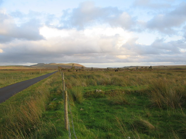
Image: © Phil Williams Taken: 26 Aug 2007
A view looking to the south west approaching the ruins of Broubster Village. This was a planned square village built to receive families displaced by the Highland Clearances. The last resident left in 1952.
Images are licensed for reuse under creativecommons.org/licenses/by-sa/2.0
Image Location


Leaflet Map data © OpenStreetMap
Latitude
58.515041
Longitude
-3.654067