Grand Union Canal, Uxbridge
Introduction
The photograph on this page of Grand Union Canal, Uxbridge by Stephen McKay as part of the Geograph project.
The Geograph project started in 2005 with the aim of publishing, organising and preserving representative images for every square kilometre of Great Britain, Ireland and the Isle of Man.

There are currently over 7.5m images from over 14,400 individuals and you can help contribute to the project by visiting https://www.geograph.org.uk
Grand Union Canal, Uxbridge
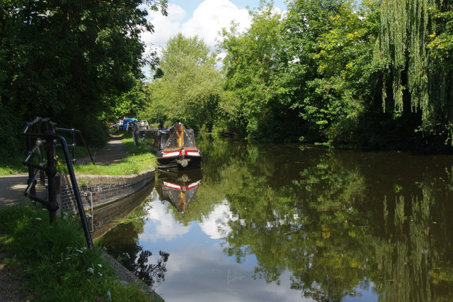
Image: © Stephen McKay Taken: 15 Aug 2017
The tree-lined nature of this stretch of canal belies the fact that it is actually passing through an urban area, surrounded by business premises. The sluice on the left connects to the River Colne.
Images are licensed for reuse under creativecommons.org/licenses/by-sa/2.0
Image Location
Latitude
51.5447
Longitude
-0.488236