Footbridge over drainage ditch
Introduction
The photograph on this page of Footbridge over drainage ditch by Peter Holmes as part of the Geograph project.
The Geograph project started in 2005 with the aim of publishing, organising and preserving representative images for every square kilometre of Great Britain, Ireland and the Isle of Man.

There are currently over 7.5m images from over 14,400 individuals and you can help contribute to the project by visiting https://www.geograph.org.uk
Footbridge over drainage ditch
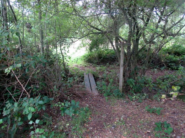
Image: © Peter Holmes Taken: 12 Aug 2017
Public footpath 583 from Streel's Lane to Streel's Lane. The drain eventually flows into the River Kird.
Images are licensed for reuse under creativecommons.org/licenses/by-sa/2.0
Image Location
Latitude
51.037485
Longitude
-0.630887