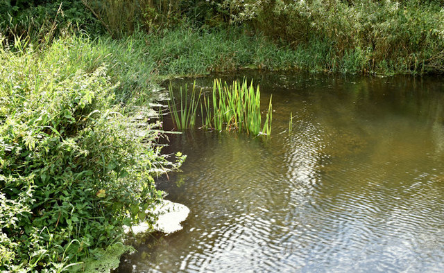
Old mill pond, Crawfordsburn (August 2017)
Introduction
The photograph on this page of Old mill pond, Crawfordsburn (August 2017) by Albert Bridge as part of the Geograph project.
The Geograph project started in 2005 with the aim of publishing, organising and preserving representative images for every square kilometre of Great Britain, Ireland and the Isle of Man.
There are currently over 7.5m images from over 14,400 individuals and you can help contribute to the project by visiting https://www.geograph.org.uk

Image: © Albert Bridge Taken: 17 Aug 2017
Part of the old mill pond, now very shallow, in Crawfordsburn Glen. The following quotation (a summary of information contained in the 1835 Ordnance Survey Memoirs) “Ballymullan is noted in the accompanying fair sheet for the 21 acres of mill pond and the corn mill belonging to Sharman Crawford MP. It has a large undershot wheel of 15 feet in diameter and 5 feet in breadth, bigger than many other similar mill-wheels as recorded” comes from the Bayburn local history website http://www.bayburn.com/.

