Construction on the former site of Napierston Farm
Introduction
The photograph on this page of Construction on the former site of Napierston Farm by Lairich Rig as part of the Geograph project.
The Geograph project started in 2005 with the aim of publishing, organising and preserving representative images for every square kilometre of Great Britain, Ireland and the Isle of Man.

There are currently over 7.5m images from over 14,400 individuals and you can help contribute to the project by visiting https://www.geograph.org.uk
Construction on the former site of Napierston Farm
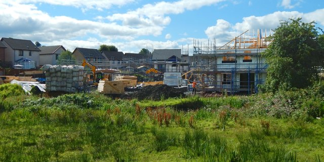
Image: © Lairich Rig Taken: 9 Aug 2017
For the cleared site, a few years earlier, see Image Both pictures were taken from Image The completed buildings are shown in Image The existing houses in the left background are in the Steadings, the name given to that part of the Dalmonach Estate.
Images are licensed for reuse under creativecommons.org/licenses/by-sa/2.0
Image Location
Latitude
55.993015
Longitude
-4.567749