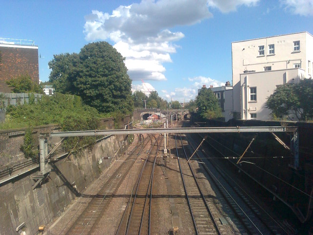
Railways near Grafton Road
Introduction
The photograph on this page of Railways near Grafton Road by David Anstiss as part of the Geograph project.
The Geograph project started in 2005 with the aim of publishing, organising and preserving representative images for every square kilometre of Great Britain, Ireland and the Isle of Man.
There are currently over 7.5m images from over 14,400 individuals and you can help contribute to the project by visiting https://www.geograph.org.uk

Image: © David Anstiss Taken: 15 Aug 2017
As seen from Grafton Road Bridge, looking eastwards. The lines on the left lead to Upper Holloway station (on the Gospel Oak to Barking line). The lines on the right are part of the London Underground network (on the Northern Line) leading towards Kentish Town. They both pass under bridges carrying the North London Line (NLL). The white house on the right is on the very short Dale Close.

