On Wilbraham Road
Introduction
The photograph on this page of On Wilbraham Road by John Sutton as part of the Geograph project.
The Geograph project started in 2005 with the aim of publishing, organising and preserving representative images for every square kilometre of Great Britain, Ireland and the Isle of Man.

There are currently over 7.5m images from over 14,400 individuals and you can help contribute to the project by visiting https://www.geograph.org.uk
On Wilbraham Road
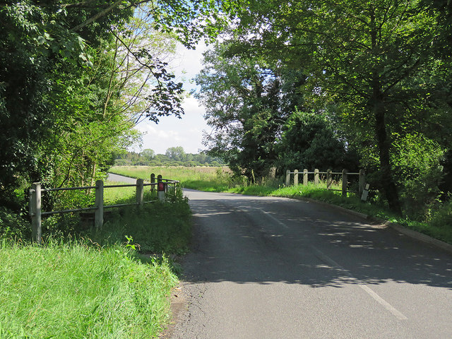
Image: © John Sutton Taken: 15 Aug 2017
Looking towards Great Wilbraham, near Herring's House. The waters which (sometimes) pass below this bridge near the southernmost edge of The Fens reach The Wash by way of Quy Water, the Cam and the Great Ouse.
Images are licensed for reuse under creativecommons.org/licenses/by-sa/2.0
Image Location
Latitude
52.190664
Longitude
0.240807