
Brookvale Park lake
Introduction
The photograph on this page of Brookvale Park lake by Richard Law as part of the Geograph project.
The Geograph project started in 2005 with the aim of publishing, organising and preserving representative images for every square kilometre of Great Britain, Ireland and the Isle of Man.

There are currently over 7.5m images from over 14,400 individuals and you can help contribute to the project by visiting https://www.geograph.org.uk
Brookvale Park lake
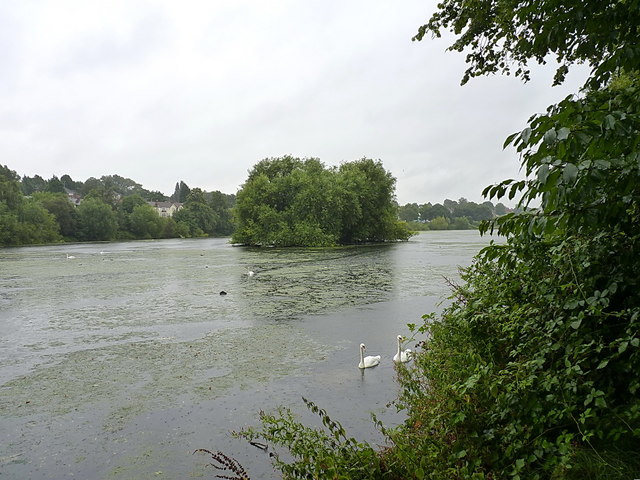
Image: © Richard Law Taken: 9 Aug 2017
Formed from the earlier natural pool of Lower Witton Lake, this became Lower Witton Reservoir (under the management of the Corporation Water Works) during the latter part of the 19th century, and provided a drinking water supply to Birmingham. When the reservoirs of the Elan Valley in mid Wales took over the task of supplying the city in the early 1900s, this lake reverted to a more recreational state, and had swimming baths erected on the far shore. These fell into disuse and were demolished before the area was landscaped in the 1970s.
Images are licensed for reuse under creativecommons.org/licenses/by-sa/2.0
Image Location

Latitude
52.518966
Longitude
-1.865996