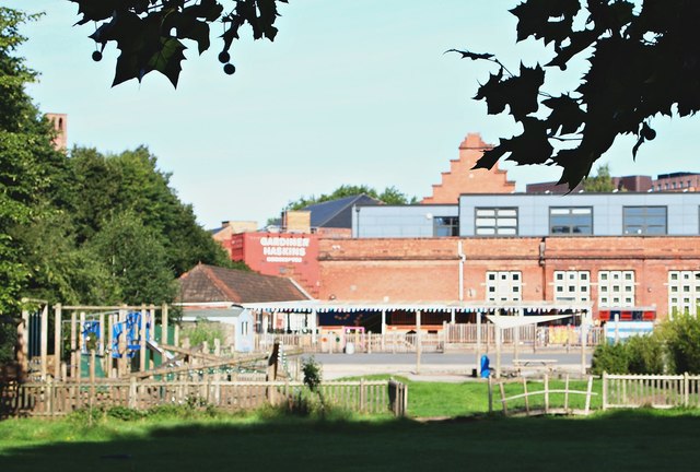
Barton Road Vicinity, St Philip's, Bristol 2
Introduction
The photograph on this page of Barton Road Vicinity, St Philip's, Bristol 2 by David Hallam-Jones as part of the Geograph project.
The Geograph project started in 2005 with the aim of publishing, organising and preserving representative images for every square kilometre of Great Britain, Ireland and the Isle of Man.
There are currently over 7.5m images from over 14,400 individuals and you can help contribute to the project by visiting https://www.geograph.org.uk

Image: © David Hallam-Jones Taken: 13 Aug 2017
A view of the rear of Hannah More Primary School taken from the school’s boundary fence opposite The Barley Mow pub. The faux-Dutch style, ‘stepped’, front elevation on New Kingsley Road is a feature of the older part of the premises. The school is named after Hannah More who was born in Fishponds, Bristol in 1745 and who died in Clifton, Bristol in 1833. She was an evangelical religious writer, a poet, a playwright and a philanthropist who joined other influential individuals of her day in campaigning against the slave trade that Bristol was heavily involved in. The first Hannah More School was built in Old Market, Bristol in the 1840s.

