Port Talbot : Nant Ffrwdwyllt
Introduction
The photograph on this page of Port Talbot : Nant Ffrwdwyllt by Lewis Clarke as part of the Geograph project.
The Geograph project started in 2005 with the aim of publishing, organising and preserving representative images for every square kilometre of Great Britain, Ireland and the Isle of Man.

There are currently over 7.5m images from over 14,400 individuals and you can help contribute to the project by visiting https://www.geograph.org.uk
Port Talbot : Nant Ffrwdwyllt
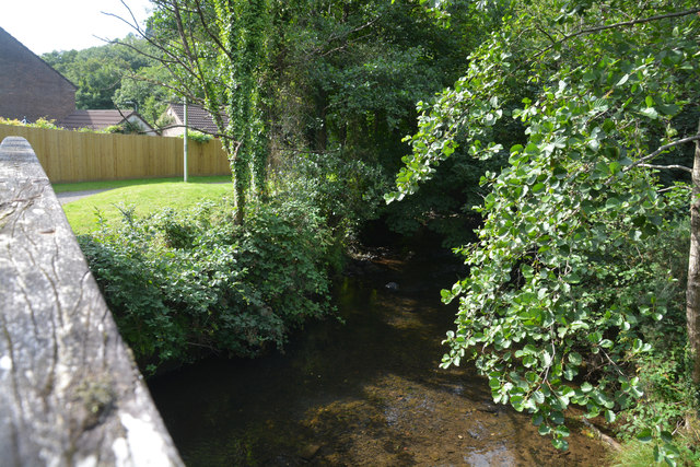
Image: © Lewis Clarke Taken: 13 Aug 2017
The stream was originally a tributary of the River Afan but was diverted in the 18th century into the ironworks at what was to become Port Talbot to provide a source of water. It now flows into Port Talbot Docks.
Images are licensed for reuse under creativecommons.org/licenses/by-sa/2.0
Image Location


Leaflet Map data © OpenStreetMap
Latitude
51.593069
Longitude
-3.763176