Signs of road widening and realignment
Introduction
The photograph on this page of Signs of road widening and realignment by David Smith as part of the Geograph project.
The Geograph project started in 2005 with the aim of publishing, organising and preserving representative images for every square kilometre of Great Britain, Ireland and the Isle of Man.

There are currently over 7.5m images from over 14,400 individuals and you can help contribute to the project by visiting https://www.geograph.org.uk
Signs of road widening and realignment
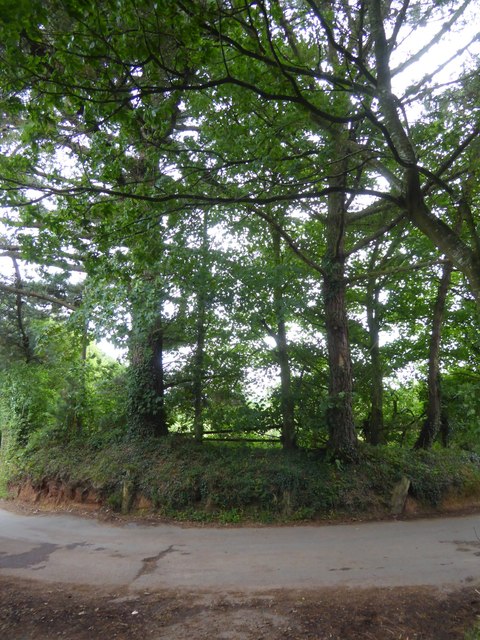
Image: © David Smith Taken: 16 Aug 2017
In the bank are the stumps of three trees. Presumably these were felled to make the road wider and the bend easier to negotiate, and the trees behind planted to replace them
Images are licensed for reuse under creativecommons.org/licenses/by-sa/2.0
Image Location
Latitude
50.860866
Longitude
-3.457612