Seaforth Village Sign
Introduction
The photograph on this page of Seaforth Village Sign by John S Turner as part of the Geograph project.
The Geograph project started in 2005 with the aim of publishing, organising and preserving representative images for every square kilometre of Great Britain, Ireland and the Isle of Man.

There are currently over 7.5m images from over 14,400 individuals and you can help contribute to the project by visiting https://www.geograph.org.uk
Seaforth Village Sign
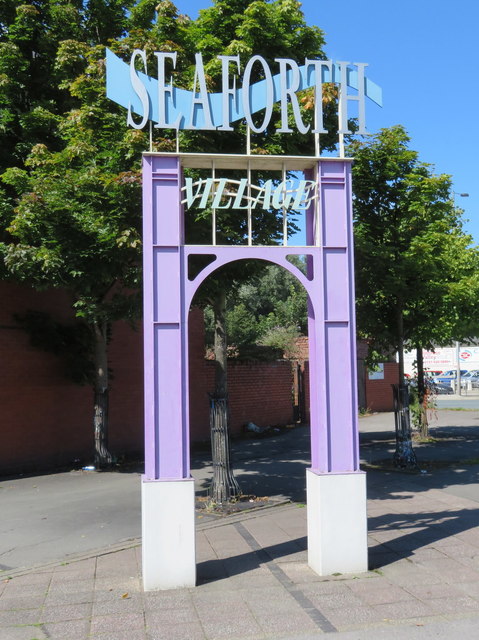
Image: © John S Turner Taken: 15 Aug 2017
The Seaforth Village sign is adjacent to the huge Bridge Road roundabout, so it doesn't look much like a village. The name must relate to the creation of Sefton Metropolitan Borough in 1974 as it actually stands in the area that used to be, or maybe still is Litherland.
Images are licensed for reuse under creativecommons.org/licenses/by-sa/2.0
Image Location
Latitude
53.466945
Longitude
-3.005157