Stubble field east from Ferryhill
Introduction
The photograph on this page of Stubble field east from Ferryhill by Trevor Littlewood as part of the Geograph project.
The Geograph project started in 2005 with the aim of publishing, organising and preserving representative images for every square kilometre of Great Britain, Ireland and the Isle of Man.

There are currently over 7.5m images from over 14,400 individuals and you can help contribute to the project by visiting https://www.geograph.org.uk
Stubble field east from Ferryhill
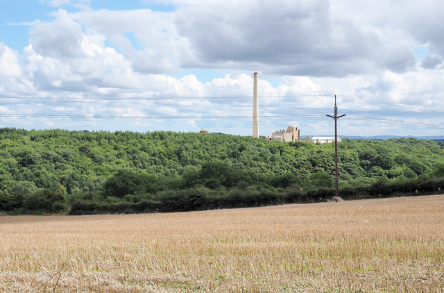
Image: © Trevor Littlewood Taken: 15 Aug 2017
The field slopes downhill apparently towards a valley but where no named flowing stream or river can be traced on OS maps. There's been extensive quarrying in the area for magnesian limestone; that continues - the Thrislington Works of the Lafarge company is seen beyond the trees.
Images are licensed for reuse under creativecommons.org/licenses/by-sa/2.0
Image Location
Latitude
54.692509
Longitude
-1.53812