Permissive path through barley field
Introduction
The photograph on this page of Permissive path through barley field by Trevor Littlewood as part of the Geograph project.
The Geograph project started in 2005 with the aim of publishing, organising and preserving representative images for every square kilometre of Great Britain, Ireland and the Isle of Man.

There are currently over 7.5m images from over 14,400 individuals and you can help contribute to the project by visiting https://www.geograph.org.uk
Permissive path through barley field
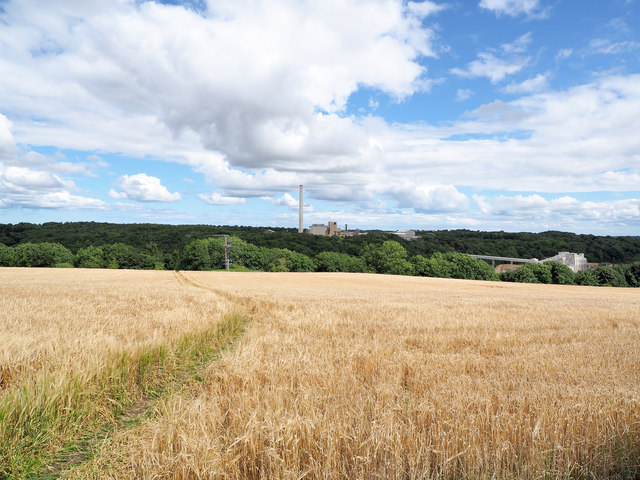
Image: © Trevor Littlewood Taken: 15 Aug 2017
Permissive paths are not uncommon but this one is unusual as it cuts right through a growing cash crop rather than crossing open country or a grassed field for grazing. It gives an alternative access to Ferryhill Carrs Nature Reserve.
Images are licensed for reuse under creativecommons.org/licenses/by-sa/2.0
Image Location
Latitude
54.687921
Longitude
-1.536621