Former canalside primary school, Gilwern
Introduction
The photograph on this page of Former canalside primary school, Gilwern by Jaggery as part of the Geograph project.
The Geograph project started in 2005 with the aim of publishing, organising and preserving representative images for every square kilometre of Great Britain, Ireland and the Isle of Man.

There are currently over 7.5m images from over 14,400 individuals and you can help contribute to the project by visiting https://www.geograph.org.uk
Former canalside primary school, Gilwern
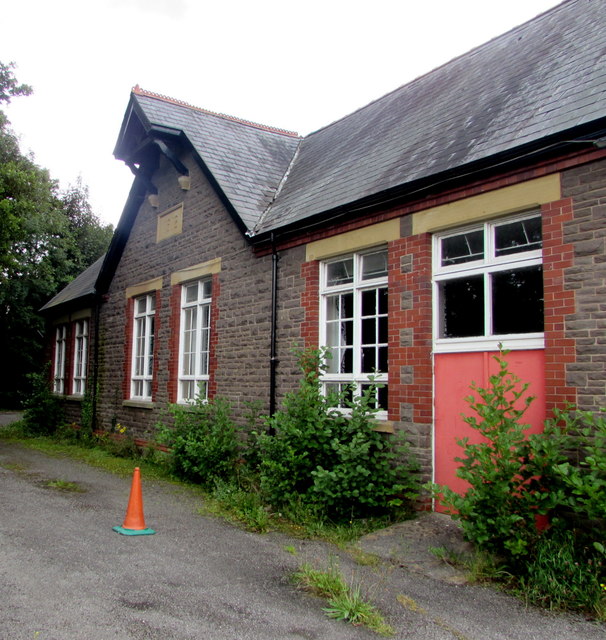
Image: © Jaggery Taken: 13 Aug 2017
Dated 1912, the building on the north bank of the Monmouthshire & Brecon Canal is at the eastern end of the cul-de-sac School Lane, accessed from Main Road.
Images are licensed for reuse under creativecommons.org/licenses/by-sa/2.0
Image Location


Leaflet Map data © OpenStreetMap
Latitude
51.824305
Longitude
-3.092959