The Teddington Obelisk
Introduction
The photograph on this page of The Teddington Obelisk by Mike Pennington as part of the Geograph project.
The Geograph project started in 2005 with the aim of publishing, organising and preserving representative images for every square kilometre of Great Britain, Ireland and the Isle of Man.

There are currently over 7.5m images from over 14,400 individuals and you can help contribute to the project by visiting https://www.geograph.org.uk
The Teddington Obelisk
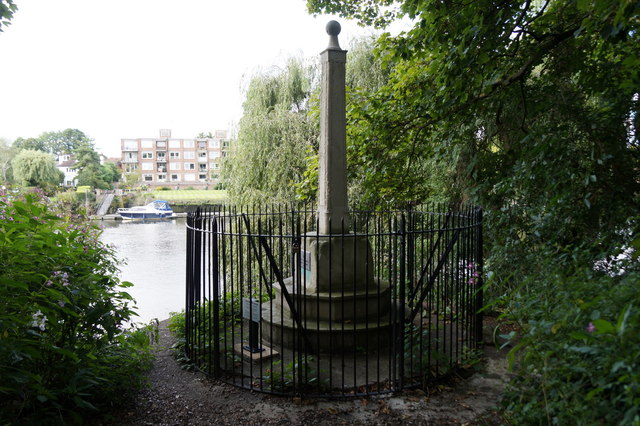
Image: © Mike Pennington Taken: 15 Aug 2017
Newly restored marker, just below Teddington Lock, which marks the boundary for the Port of London Authority, erected by its predecessor, the Thames Conservancy.
Images are licensed for reuse under creativecommons.org/licenses/by-sa/2.0
Image Location
Latitude
51.433346
Longitude
-0.327046