Ferring Village Green, Ferring
Introduction
The photograph on this page of Ferring Village Green, Ferring by Simon Carey as part of the Geograph project.
The Geograph project started in 2005 with the aim of publishing, organising and preserving representative images for every square kilometre of Great Britain, Ireland and the Isle of Man.

There are currently over 7.5m images from over 14,400 individuals and you can help contribute to the project by visiting https://www.geograph.org.uk
Ferring Village Green, Ferring
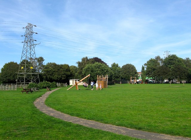
Image: © Simon Carey Taken: 13 Aug 2017
On Ferring's 1837 tithe map this was once a field called Vicarage Croft and was later a much larger recreation ground until the development of Rife Way to the south in the 1960s reduced the area. Not sure when the open space was designated a village green but it is fairly recent I believe.
Images are licensed for reuse under creativecommons.org/licenses/by-sa/2.0
Image Location
Latitude
50.81514
Longitude
-0.448032