Footpath adjacent to vineyard
Introduction
The photograph on this page of Footpath adjacent to vineyard by Peter Holmes as part of the Geograph project.
The Geograph project started in 2005 with the aim of publishing, organising and preserving representative images for every square kilometre of Great Britain, Ireland and the Isle of Man.

There are currently over 7.5m images from over 14,400 individuals and you can help contribute to the project by visiting https://www.geograph.org.uk
Footpath adjacent to vineyard
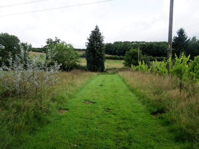
Image: © Peter Holmes Taken: 12 Aug 2017
Public footpath 582 to School House Farm. The actual path differs from the way shown on the OS Explorer map.
Images are licensed for reuse under creativecommons.org/licenses/by-sa/2.0
Image Location
Latitude
51.038144
Longitude
-0.633435