Chessenden House, The Street
Introduction
The photograph on this page of Chessenden House, The Street by John Baker as part of the Geograph project.
The Geograph project started in 2005 with the aim of publishing, organising and preserving representative images for every square kilometre of Great Britain, Ireland and the Isle of Man.

There are currently over 7.5m images from over 14,400 individuals and you can help contribute to the project by visiting https://www.geograph.org.uk
Chessenden House, The Street
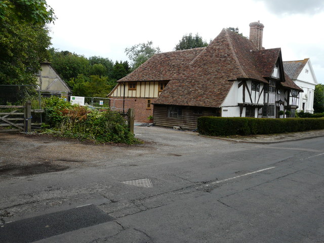
Image: © John Baker Taken: 23 Jul 2017
This image of the Image shows how beautifully the work was subsequently carried out. Planning permission was granted by Ashford Borough Council under application number 13/00921/AS for “1. Erection of part two storey part single storey rear extension in place of existing two storey rear extension and 2. Listed Building Consent for same (amended plans)”.
Images are licensed for reuse under creativecommons.org/licenses/by-sa/2.0
Image Location
Latitude
51.149799
Longitude
0.690499