Gilwern boundary sign
Introduction
The photograph on this page of Gilwern boundary sign by Jaggery as part of the Geograph project.
The Geograph project started in 2005 with the aim of publishing, organising and preserving representative images for every square kilometre of Great Britain, Ireland and the Isle of Man.

There are currently over 7.5m images from over 14,400 individuals and you can help contribute to the project by visiting https://www.geograph.org.uk
Gilwern boundary sign
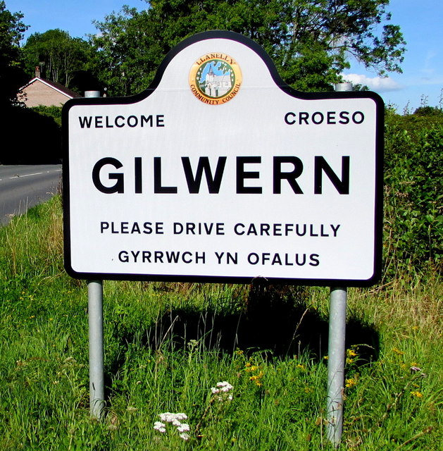
Image: © Jaggery Taken: 13 Aug 2017
On the right here. http://www.geograph.org.uk/photo/5497547 Gilwern is a village in Monmouthshire about 6 km west of Abergavenny. The Llanelly Community Council emblem is depicted on the sign.
Images are licensed for reuse under creativecommons.org/licenses/by-sa/2.0
Image Location
Latitude
51.824153
Longitude
-3.080187