The old churchyard, Ilkeston
Introduction
The photograph on this page of The old churchyard, Ilkeston by Alan Murray-Rust as part of the Geograph project.
The Geograph project started in 2005 with the aim of publishing, organising and preserving representative images for every square kilometre of Great Britain, Ireland and the Isle of Man.

There are currently over 7.5m images from over 14,400 individuals and you can help contribute to the project by visiting https://www.geograph.org.uk
The old churchyard, Ilkeston
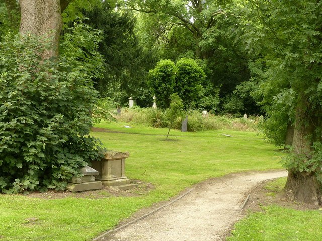
Image: © Alan Murray-Rust Taken: 11 Aug 2017
Created in the 19th century as an extension to the churchyard attached to St Mary's Church, it was cut off when Chalons Way was constructed. It is now general open space, although parts are substantially overgrown.
Images are licensed for reuse under creativecommons.org/licenses/by-sa/2.0
Image Location
Latitude
52.970362
Longitude
-1.30622