Steps. Moat Street
Introduction
The photograph on this page of Steps. Moat Street by Richard Webb as part of the Geograph project.
The Geograph project started in 2005 with the aim of publishing, organising and preserving representative images for every square kilometre of Great Britain, Ireland and the Isle of Man.

There are currently over 7.5m images from over 14,400 individuals and you can help contribute to the project by visiting https://www.geograph.org.uk
Steps. Moat Street
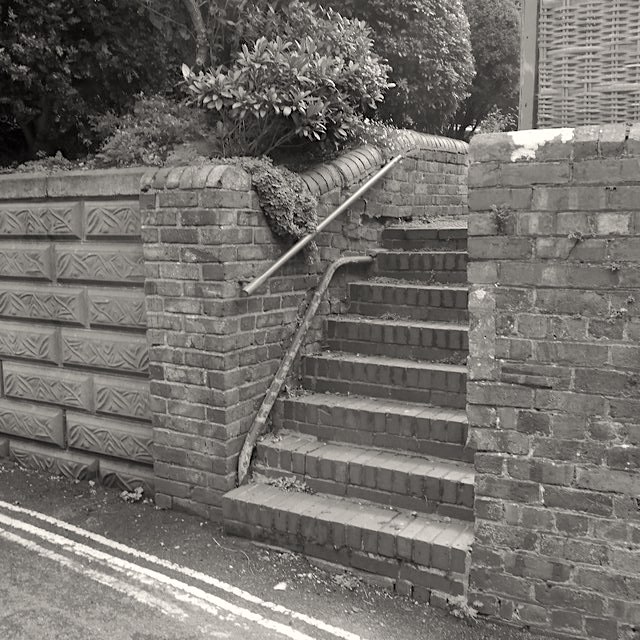
Image: © Richard Webb Taken: 7 Aug 2017
A path of St Leonard's Close just above. Notice the ghost of an older set of steps - the lower handrail.
Images are licensed for reuse under creativecommons.org/licenses/by-sa/2.0
Image Location
Latitude
52.537266
Longitude
-2.419403