Sowy River near Oath
Introduction
The photograph on this page of Sowy River near Oath by Stephen Richards as part of the Geograph project.
The Geograph project started in 2005 with the aim of publishing, organising and preserving representative images for every square kilometre of Great Britain, Ireland and the Isle of Man.

There are currently over 7.5m images from over 14,400 individuals and you can help contribute to the project by visiting https://www.geograph.org.uk
Sowy River near Oath
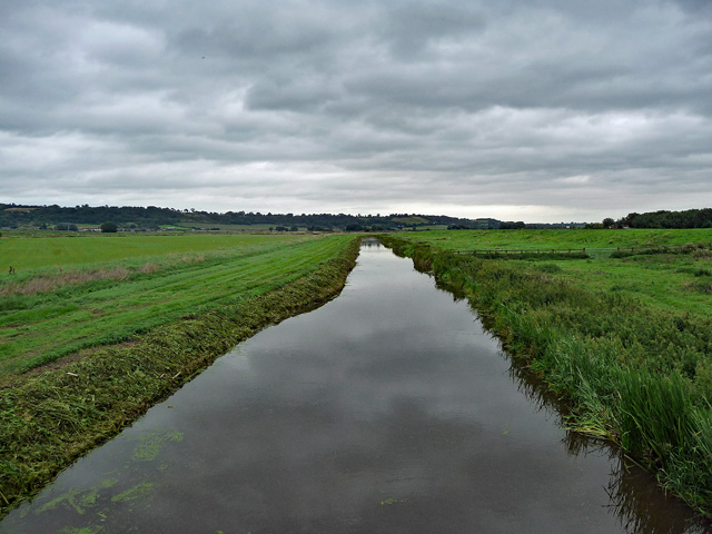
Image: © Stephen Richards Taken: 11 Aug 2017
Water is a relentless enemy in these parts - the whole area is criss-crossed by waterways and festooned with neo-Georgian pumping stations. The Sowy is man-made, in 1969-72, to take excess water from the River Parrett to the King's Sedgemoor Drain.
Images are licensed for reuse under creativecommons.org/licenses/by-sa/2.0
Image Location
Latitude
51.045298
Longitude
-2.872811