Erection of a house, Balmoral Road
Introduction
The photograph on this page of Erection of a house, Balmoral Road by John Baker as part of the Geograph project.
The Geograph project started in 2005 with the aim of publishing, organising and preserving representative images for every square kilometre of Great Britain, Ireland and the Isle of Man.

There are currently over 7.5m images from over 14,400 individuals and you can help contribute to the project by visiting https://www.geograph.org.uk
Erection of a house, Balmoral Road
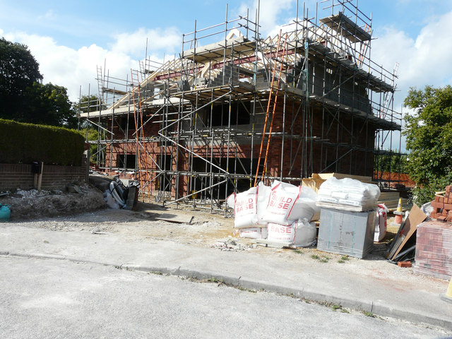
Image: © John Baker Taken: 16 Jul 2017
Planning permission was granted by Dover District Council under application number DOV/17/00371 for the “erection of a detached dwelling incorporating an integral garage and construction of a vehicular access”. The location was given as land adjoining 49, Balmoral Road.
Images are licensed for reuse under creativecommons.org/licenses/by-sa/2.0
Image Location
Latitude
51.189098
Longitude
1.398723