Boysack Mills
Introduction
The photograph on this page of Boysack Mills by Anne Burgess as part of the Geograph project.
The Geograph project started in 2005 with the aim of publishing, organising and preserving representative images for every square kilometre of Great Britain, Ireland and the Isle of Man.

There are currently over 7.5m images from over 14,400 individuals and you can help contribute to the project by visiting https://www.geograph.org.uk
Boysack Mills
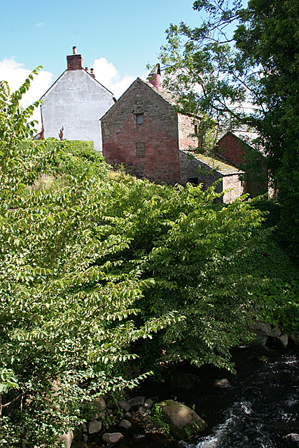
Image: © Anne Burgess Taken: 7 Aug 2017
Gable ends of some of the older buildings at Boysack Mills, seen from the bridge over the Lunan Water.
Images are licensed for reuse under creativecommons.org/licenses/by-sa/2.0
Image Location
Latitude
56.632583
Longitude
-2.613542