Grassy Track
Introduction
The photograph on this page of Grassy Track by Anne Burgess as part of the Geograph project.
The Geograph project started in 2005 with the aim of publishing, organising and preserving representative images for every square kilometre of Great Britain, Ireland and the Isle of Man.

There are currently over 7.5m images from over 14,400 individuals and you can help contribute to the project by visiting https://www.geograph.org.uk
Grassy Track
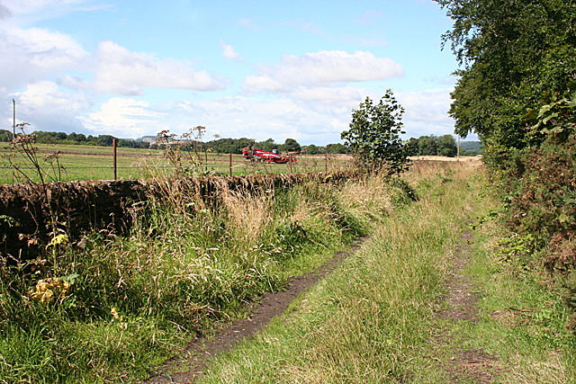
Image: © Anne Burgess Taken: 7 Aug 2017
This track links Border to West Border, but doesn't seem to be much used now.
Images are licensed for reuse under creativecommons.org/licenses/by-sa/2.0
Image Location
Latitude
56.629127
Longitude
-2.657006