Farmland towards the A141
Introduction
The photograph on this page of Farmland towards the A141 by JThomas as part of the Geograph project.
The Geograph project started in 2005 with the aim of publishing, organising and preserving representative images for every square kilometre of Great Britain, Ireland and the Isle of Man.

There are currently over 7.5m images from over 14,400 individuals and you can help contribute to the project by visiting https://www.geograph.org.uk
Farmland towards the A141
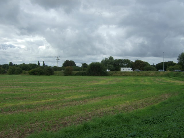
Image: © JThomas Taken: 12 Aug 2017
One of many caravans passing through.
Images are licensed for reuse under creativecommons.org/licenses/by-sa/2.0
Image Location
Latitude
52.523354
Longitude
0.083904