Fife Coastal Path
Introduction
The photograph on this page of Fife Coastal Path by Sandy Gemmill as part of the Geograph project.
The Geograph project started in 2005 with the aim of publishing, organising and preserving representative images for every square kilometre of Great Britain, Ireland and the Isle of Man.

There are currently over 7.5m images from over 14,400 individuals and you can help contribute to the project by visiting https://www.geograph.org.uk
Fife Coastal Path
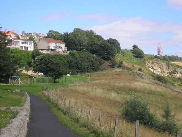
Image: © Sandy Gemmill Taken: 10 Aug 2017
The Fife Coastal Path approaching a play area (for older children and young adults). The Pit Head winding gear from the Frances Colliery can be seen in the top right corner of the picture. The ground on the right of the path contains spoil from the mines in the area and the signs (one can be seen in the field) indicate that the ground is in a dangerous state.
Images are licensed for reuse under creativecommons.org/licenses/by-sa/2.0
Image Location
Latitude
56.127835
Longitude
-3.11839