The Longford River at Two Bridges
Introduction
The photograph on this page of The Longford River at Two Bridges by Robin Webster as part of the Geograph project.
The Geograph project started in 2005 with the aim of publishing, organising and preserving representative images for every square kilometre of Great Britain, Ireland and the Isle of Man.

There are currently over 7.5m images from over 14,400 individuals and you can help contribute to the project by visiting https://www.geograph.org.uk
The Longford River at Two Bridges
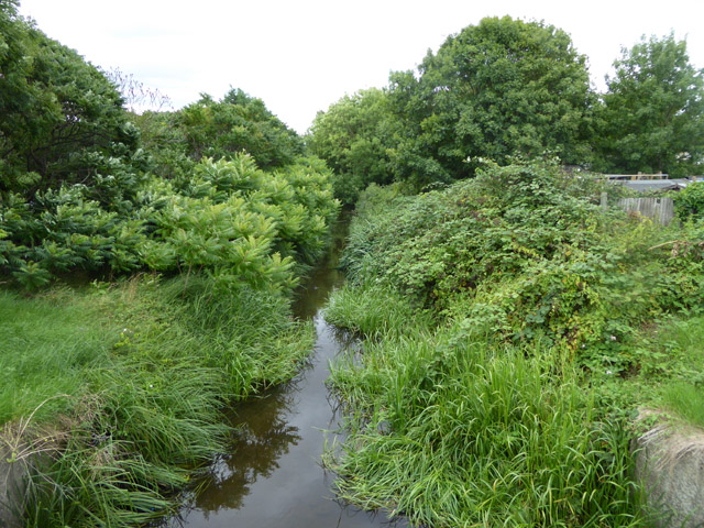
Image: © Robin Webster Taken: 12 Aug 2017
Two Bridges because here Hatton Road crosses in quick succession both the Longford River and the older Duke of Northumberland's River. The Longford River is a 17th century artificial cut to supply Hampton Court with water from the River Crane.
Images are licensed for reuse under creativecommons.org/licenses/by-sa/2.0
Image Location
Latitude
51.456505
Longitude
-0.434728