Lenham station, 2002
Introduction
The photograph on this page of Lenham station, 2002 by Ben Brooksbank as part of the Geograph project.
The Geograph project started in 2005 with the aim of publishing, organising and preserving representative images for every square kilometre of Great Britain, Ireland and the Isle of Man.

There are currently over 7.5m images from over 14,400 individuals and you can help contribute to the project by visiting https://www.geograph.org.uk
Lenham station, 2002
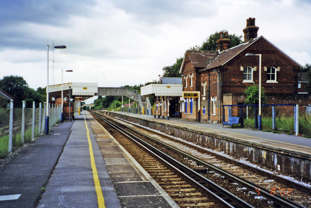
Image: © Ben Brooksbank Taken: 3 Aug 2002
View west, towards Maidstone and London: ex-SE&CR London - Maidstone East - Ashford secondary main line, electrified east of Maidstone in 1961. Recently an Up loop line had been added (off to the left in this view) for holding Up Continental freight trains after the Channel Tunnel was opened.
Images are licensed for reuse under creativecommons.org/licenses/by-sa/2.0
Image Location
Latitude
51.234009
Longitude
0.708877