The Old School House, Ferring Street, Ferring
Introduction
The photograph on this page of The Old School House, Ferring Street, Ferring by Simon Carey as part of the Geograph project.
The Geograph project started in 2005 with the aim of publishing, organising and preserving representative images for every square kilometre of Great Britain, Ireland and the Isle of Man.

There are currently over 7.5m images from over 14,400 individuals and you can help contribute to the project by visiting https://www.geograph.org.uk
The Old School House, Ferring Street, Ferring
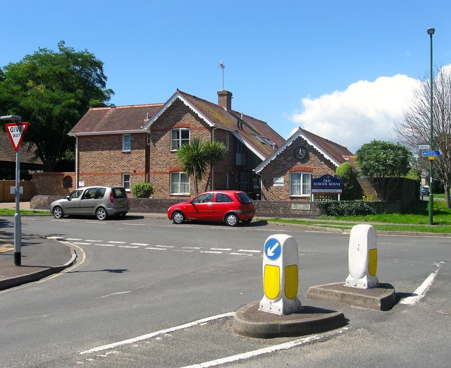
Image: © Simon Carey Taken: 6 Aug 2017
Originally built as a National School in the mid 19th century and later converted into a church hall before becoming a care home when the flats on the left were built in the mid 1980s.
Images are licensed for reuse under creativecommons.org/licenses/by-sa/2.0
Image Location
Latitude
50.814418
Longitude
-0.447772