Lawnbrook Avenue looking south.
Introduction
The photograph on this page of Lawnbrook Avenue looking south. by Robert Eva as part of the Geograph project.
The Geograph project started in 2005 with the aim of publishing, organising and preserving representative images for every square kilometre of Great Britain, Ireland and the Isle of Man.

There are currently over 7.5m images from over 14,400 individuals and you can help contribute to the project by visiting https://www.geograph.org.uk
Lawnbrook Avenue looking south.
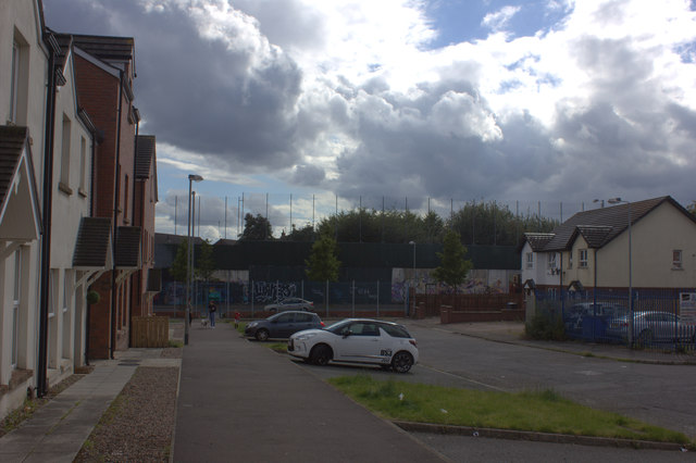
Image: © Robert Eva Taken: 5 Aug 2017
Cupar Way and the peace line fence can be seen at the end of the road.
Images are licensed for reuse under creativecommons.org/licenses/by-sa/2.0
Image Location
Latitude
54.601747
Longitude
-5.95786