Crossroads at Hermitage Lane
Introduction
The photograph on this page of Crossroads at Hermitage Lane by John M as part of the Geograph project.
The Geograph project started in 2005 with the aim of publishing, organising and preserving representative images for every square kilometre of Great Britain, Ireland and the Isle of Man.

There are currently over 7.5m images from over 14,400 individuals and you can help contribute to the project by visiting https://www.geograph.org.uk
Crossroads at Hermitage Lane
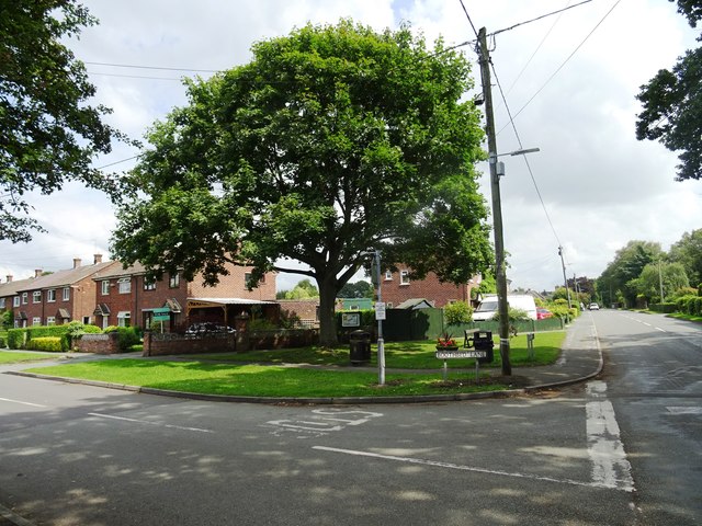
Image: © John M Taken: 10 Aug 2017
The telephone box on the OS mapping has gone. Several others in the area are retained for defibrillators.
Images are licensed for reuse under creativecommons.org/licenses/by-sa/2.0
Image Location
Latitude
53.226064
Longitude
-2.355107