Findrassie Wood
Introduction
The photograph on this page of Findrassie Wood by valenta as part of the Geograph project.
The Geograph project started in 2005 with the aim of publishing, organising and preserving representative images for every square kilometre of Great Britain, Ireland and the Isle of Man.

There are currently over 7.5m images from over 14,400 individuals and you can help contribute to the project by visiting https://www.geograph.org.uk
Findrassie Wood
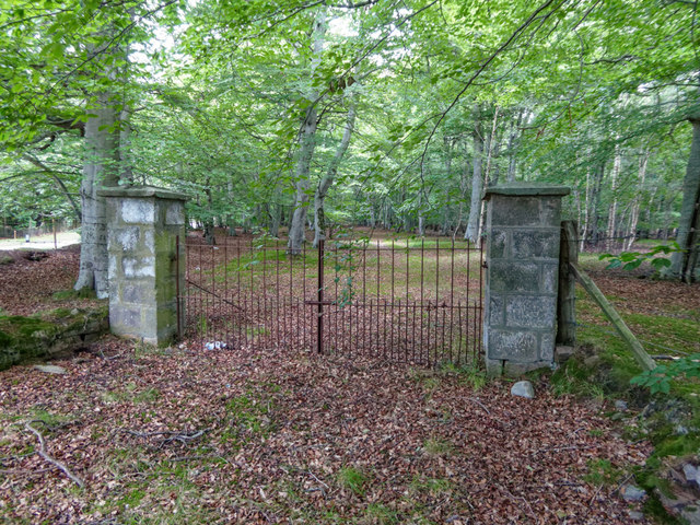
Image: © valenta Taken: 10 Aug 2017
Hoping to use the track through Findrassie Wood, this padlocked gate and high fence barred access. The track access is also locked at the other end Image]
Images are licensed for reuse under creativecommons.org/licenses/by-sa/2.0
Image Location
Latitude
57.660903
Longitude
-3.343624