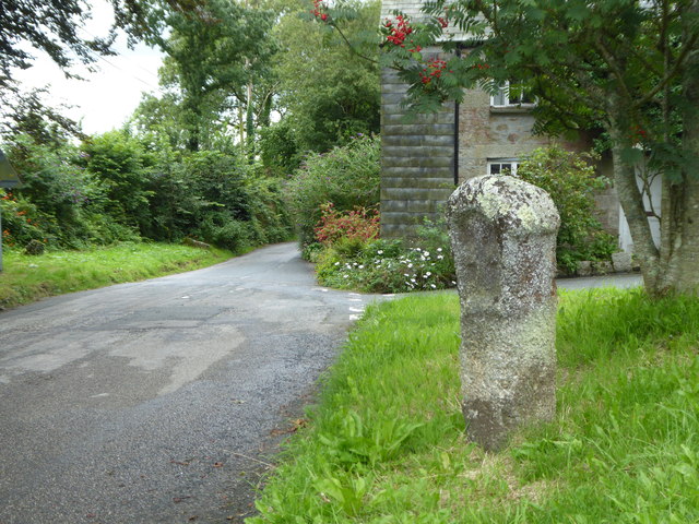
Ancient cross beside the road at Blisland
Introduction
The photograph on this page of Ancient cross beside the road at Blisland by Rod Allday as part of the Geograph project.
The Geograph project started in 2005 with the aim of publishing, organising and preserving representative images for every square kilometre of Great Britain, Ireland and the Isle of Man.
There are currently over 7.5m images from over 14,400 individuals and you can help contribute to the project by visiting https://www.geograph.org.uk

Image: © Rod Allday Taken: 1 Aug 2017
This cross is situated at the staggered junction of four roads at the western end of the village green in Blisland village on the western fringes of Bodmin Moor. It has always been recorded at this location since its first depiction by the Ordnance Survey in 1881. This junction marks the crossing point of routes linking the towns and settlements of the north west coastal strip of Cornwall and western Bodmin Moor with one of the main early east-west routes across Cornwall, now the A30, and its early link with the crossing point of the River Camel at Wadebridge. On a local level, this cross is one of an unusually large number of medieval wayside crosses within this parish which marked the main routes to the church, situated 175m south east of this monument. A Scheduled Monument https://www.historicengland.org.uk/listing/the-list/list-entry/1010842.

