Loughton: A121 High Road
Introduction
The photograph on this page of Loughton: A121 High Road by Nigel Cox as part of the Geograph project.
The Geograph project started in 2005 with the aim of publishing, organising and preserving representative images for every square kilometre of Great Britain, Ireland and the Isle of Man.

There are currently over 7.5m images from over 14,400 individuals and you can help contribute to the project by visiting https://www.geograph.org.uk
Loughton: A121 High Road
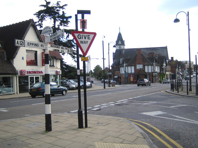
Image: © Nigel Cox Taken: 2 Sep 2007
Loughton Parish Council are rightly proud of their traditional finger post road signs. This one at the junction of the High Road with Station Road and Forest Road tells us the following mileages:- Epping 4½, Buckhurst Hill 1¾, London 11¾, High Beech 1½, and Waltham Abbey 4¼. Lopping Hall Image is the building with the clock tower in the distance.
Images are licensed for reuse under creativecommons.org/licenses/by-sa/2.0
Image Location
Latitude
51.645749
Longitude
0.052375