Pandy, trackbed
Introduction
The photograph on this page of Pandy, trackbed by Mike Faherty as part of the Geograph project.
The Geograph project started in 2005 with the aim of publishing, organising and preserving representative images for every square kilometre of Great Britain, Ireland and the Isle of Man.

There are currently over 7.5m images from over 14,400 individuals and you can help contribute to the project by visiting https://www.geograph.org.uk
Pandy, trackbed
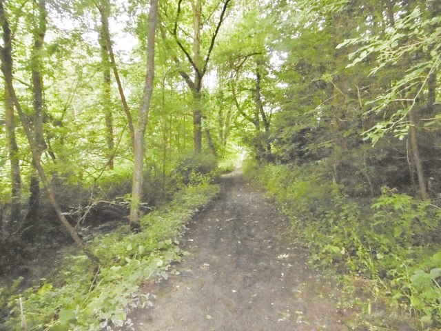
Image: © Mike Faherty Taken: 3 Aug 2017
Through woodland next to Afon Ceiriog; once the Glyn Valley Tramway, used to access a granite quarry to the South. Now a footpath. http://www.glynvalleytramwaytrust.co.uk/
Images are licensed for reuse under creativecommons.org/licenses/by-sa/2.0
Image Location
Latitude
52.91793
Longitude
-3.194071