Long Bridge (over the River Colne)
Introduction
The photograph on this page of Long Bridge (over the River Colne) by Mike Quinn as part of the Geograph project.
The Geograph project started in 2005 with the aim of publishing, organising and preserving representative images for every square kilometre of Great Britain, Ireland and the Isle of Man.

There are currently over 7.5m images from over 14,400 individuals and you can help contribute to the project by visiting https://www.geograph.org.uk
Long Bridge (over the River Colne)
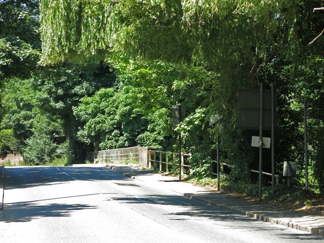
Image: © Mike Quinn Taken: 5 Jul 2017
On St. John's Road. Nail's list of Coal Tax posts http://www.coaldutyposts.org.uk/cityposts.html gives this as the site of boundary marker no.66, a white post such as Image, but the post was concealed in the vegetation by the metal post nearest to the bridge - I found it a couple of years later: see Image Nail's list of missing marks includes no.66a - a square metal plate such as Image - which was originally on the parapet of the bridge, but disappeared when the bridge was reconstructed in 1973-74.
Images are licensed for reuse under creativecommons.org/licenses/by-sa/2.0
Image Location
Latitude
51.540807
Longitude
-0.493123