A49 looking south
Introduction
The photograph on this page of A49 looking south by Bob Bowyer as part of the Geograph project.
The Geograph project started in 2005 with the aim of publishing, organising and preserving representative images for every square kilometre of Great Britain, Ireland and the Isle of Man.

There are currently over 7.5m images from over 14,400 individuals and you can help contribute to the project by visiting https://www.geograph.org.uk
A49 looking south
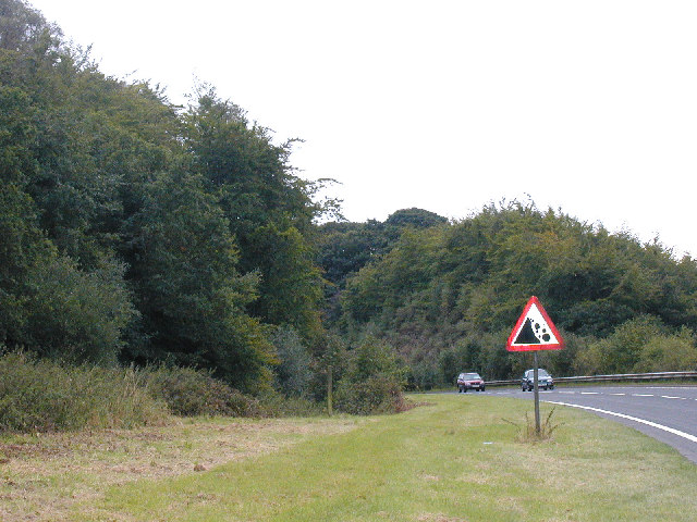
Image: © Bob Bowyer Taken: 18 Sep 2005
This is where the road passes through a deep cutting into New Red Sandstone. The cutting replaced an extremely dangerous corner around the outcrop of rock.
Images are licensed for reuse under creativecommons.org/licenses/by-sa/2.0
Image Location


Leaflet Map data © OpenStreetMap
Latitude
52.852147
Longitude
-2.662259