Abbey Farmhouse, Dale Abbey
Introduction
The photograph on this page of Abbey Farmhouse, Dale Abbey by Alan Murray-Rust as part of the Geograph project.
The Geograph project started in 2005 with the aim of publishing, organising and preserving representative images for every square kilometre of Great Britain, Ireland and the Isle of Man.

There are currently over 7.5m images from over 14,400 individuals and you can help contribute to the project by visiting https://www.geograph.org.uk
Abbey Farmhouse, Dale Abbey
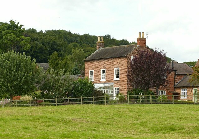
Image: © Alan Murray-Rust Taken: 6 Aug 2017
Late 18th century farmhouse, Listed Grade II. There is probably no connection between the farm and the abbey other than its proximity to the ruins of the latter.
Images are licensed for reuse under creativecommons.org/licenses/by-sa/2.0
Image Location
Latitude
52.944816
Longitude
-1.351274