Cottage at Newcastle Hill
Introduction
The photograph on this page of Cottage at Newcastle Hill by Martin Edwards as part of the Geograph project.
The Geograph project started in 2005 with the aim of publishing, organising and preserving representative images for every square kilometre of Great Britain, Ireland and the Isle of Man.

There are currently over 7.5m images from over 14,400 individuals and you can help contribute to the project by visiting https://www.geograph.org.uk
Cottage at Newcastle Hill
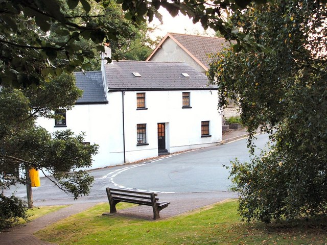
Image: © Martin Edwards Taken: 7 Sep 2007
This part of Bridgend is one of the oldest areas of the town. At one time, it was the main route from Bridgend, northwards to Pen-y-Fai,Aberkenfig and the valleys.
Images are licensed for reuse under creativecommons.org/licenses/by-sa/2.0
Image Location


Leaflet Map data © OpenStreetMap
Latitude
51.508488
Longitude
-3.584248